
Solutions
Conflict detection

Conflict Paths
A lack of situational awareness is a contributing factor in many mid-air collisions: the pilots were either unaware of the risk of collision, or made aware of it too late to prevent it.
Our patented (GB2529551A and US10777086B2) conflict detection algorithm aids long-range situational awareness by calculating precisely where aircraft may conflict over the whole of their flights.
Provided aircraft faithfully follow their routes (see: aircraft monitoring), separation can only be lost between pairs of aircraft that share conflict paths, and then only if their altitudes and times also conflict.
Our original prototype conflict detector (developed for the patent application) used a stereographic map projection. That evolved into a version using spherical vector geometry.
We are currently developing a (hopefully our last!) prototype using geodesic algorithms to calculate conflict paths precisely.
Note: We are willing to license our conflict detection patent to anyone who asks, see Licence of right.
Conflict detection
Aircraft monitoring

KAL007 planned and actual flight paths
Mgarin73, CC BY-SA 3.0, via Wikimedia Commons
Flight KAL007 was shot down by Soviet interceptor aircraft because it deviated from its planned flightpath. This was the incident that prompted Ronald Reagan to make GPS available for civilian use, see navigation.
Modern ATC systems have tools such as Route Adherence Monitoring (RAM) to detect flight path deviations. Such tools were not available at the time, and even if they had been, the flightpath deviation may have been masked by the ATC system’s map projection distortion.
Unfortunately, KAL007 isn’t the only aircraft lost to a navigation error.
While technology such as Flight Management Systems (FMS) incorporating GPS
has reduced human error on the flight deck, it has also created new error pathways,
see: Data-Entry Errors Can Lead Aircraft Off Course.
The tragic loss of Malaysian Airlines flight MH370, which disappeared without a trace on 8 March 2014, led the International Civil Aviation Organization (ICAO) to spearhead the Global Aeronautical Distress and Safety System (GADSS) initiative. A key requirement of GADSS is for aircraft operators to implement “4D/15 tracking”.
Aircraft monitoring would help aircraft operators use GADSS tracking data to detect if their aircraft have deviated from their flightpaths, enabling operators to warn the aircraft and hopefully prevent an incident.
Airspace intersections
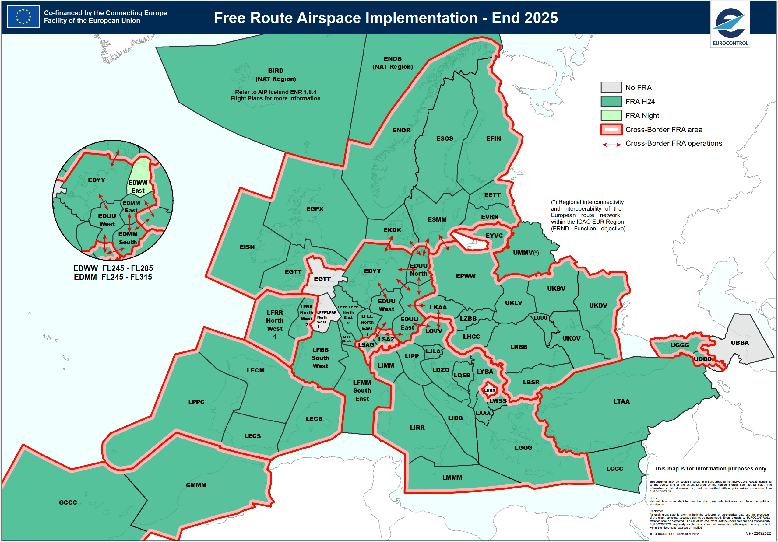
Free route Flight Information Regions (FIR)s
The world’s airspace is divided into Flight Information (FIR) regions. Each FIR is divided into sectors: volumes of airspace controlled by one or more Air Traffic Controllers (ATCOs).
There is a limit to how many aircraft ATCOs can simultaneously control; this is the capacity of a sector. An Air Traffic Control (ATC) Network Manager (NM) plans air traffic through sectors to ensure that sector capacity is not exceeded.
Traditionally, ATC required aircraft to fly along defined airways. ATC could calculate (in advance) points where airways crossed sector boundaries enabling them to predict when an aircraft would occupy a sector based on its predicted times over these boundary points.
Free Route Airspace (FRA) permits airspace users to freely plan routes between defined entry and exit points. Such free routes may cross sector boundaries anywhere, not only at specific points on airways.
Our commercial software can calculate precisely where aircraft free routes cross airspace sector boundaries. So, aircraft sector occupancy can be calculated from the predicted trajectories of free route flights.
Contact us